St Andrew's School, Dearnley
Introduction
The photograph on this page of St Andrew's School, Dearnley by Peter Thwaite as part of the Geograph project.
The Geograph project started in 2005 with the aim of publishing, organising and preserving representative images for every square kilometre of Great Britain, Ireland and the Isle of Man.

There are currently over 7.5m images from over 14,400 individuals and you can help contribute to the project by visiting https://www.geograph.org.uk
St Andrew's School, Dearnley
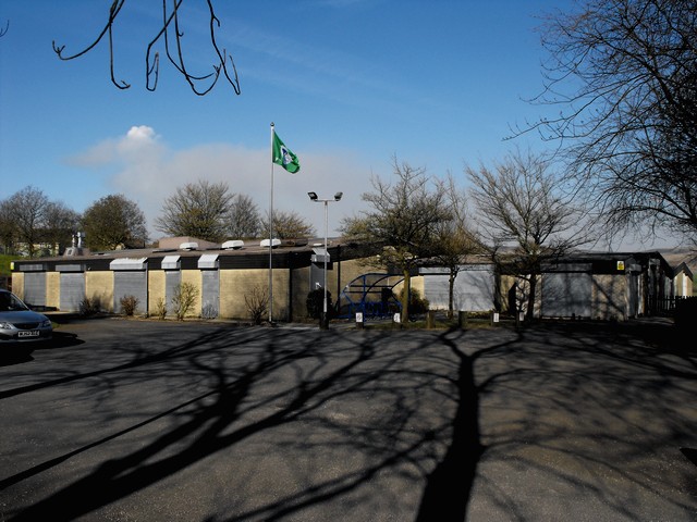
Image: © Peter Thwaite Taken: 22 Apr 2010
The school was built in the 1970s to replace the similarly named Church of England school that was situated on School Street on the other (east) side of Saint Andrew's church. The school day has ended and the shutters are drawn down on the windows and doors. Saint Andrew's CE Primary School website: http://www.clc2.uniservity.com/Grouphomepage.asp?GroupId=392834 Saint Andrew's church website: http://www.standrewsdearnley.co.uk/
Images are licensed for reuse under creativecommons.org/licenses/by-sa/2.0
Image Location
Latitude
53.639646
Longitude
-2.119297