Breadalbane Street, Tobermory
Introduction
The photograph on this page of Breadalbane Street, Tobermory by Gordon Hatton as part of the Geograph project.
The Geograph project started in 2005 with the aim of publishing, organising and preserving representative images for every square kilometre of Great Britain, Ireland and the Isle of Man.

There are currently over 7.5m images from over 14,400 individuals and you can help contribute to the project by visiting https://www.geograph.org.uk
Breadalbane Street, Tobermory
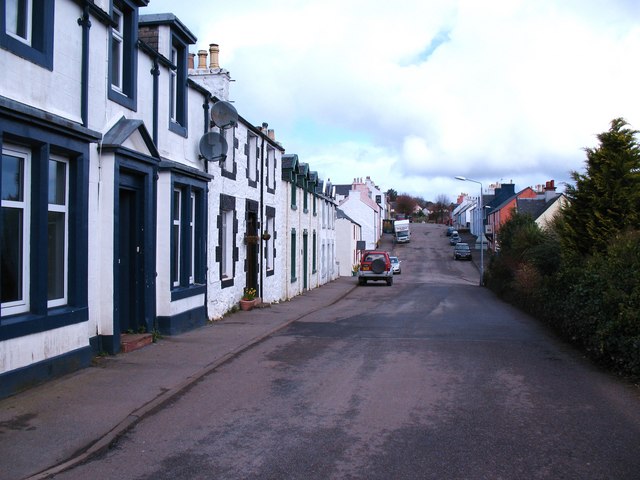
Image: © Gordon Hatton Taken: 1 Apr 2010
The main focus in Tobermory is the colourful harbour front and main street, but up above is the 19th century planned village laid out on a grid plan. Breadalbane Street is the main S-N street in the upper town.
Images are licensed for reuse under creativecommons.org/licenses/by-sa/2.0
Image Location
Latitude
56.621801
Longitude
-6.072085