Bridgewater Way
Introduction
The photograph on this page of Bridgewater Way by Gerald England as part of the Geograph project.
The Geograph project started in 2005 with the aim of publishing, organising and preserving representative images for every square kilometre of Great Britain, Ireland and the Isle of Man.

There are currently over 7.5m images from over 14,400 individuals and you can help contribute to the project by visiting https://www.geograph.org.uk
Bridgewater Way
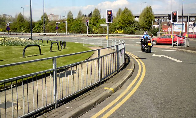
Image: © Gerald England Taken: 22 Apr 2010
The Eastern junction of Chester Road (here the A5104) with Bridgewater Way (A56) a dual carriageway bypassing Old Trafford. In the background is the Metrolink tramline at Cornbrook.
Images are licensed for reuse under creativecommons.org/licenses/by-sa/2.0
Image Location
Latitude
53.468449
Longitude
-2.266895