Sutherland Place
Introduction
The photograph on this page of Sutherland Place by Gordon Griffiths as part of the Geograph project.
The Geograph project started in 2005 with the aim of publishing, organising and preserving representative images for every square kilometre of Great Britain, Ireland and the Isle of Man.

There are currently over 7.5m images from over 14,400 individuals and you can help contribute to the project by visiting https://www.geograph.org.uk
Sutherland Place
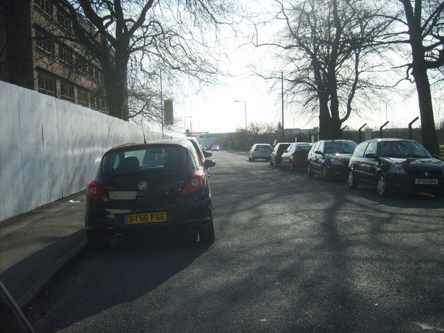
Image: © Gordon Griffiths Taken: 16 Apr 2010
The view down the Wolverhampton street next to the old Royal Hospital on the left.
Images are licensed for reuse under creativecommons.org/licenses/by-sa/2.0
Image Location
Latitude
52.58038
Longitude
-2.12097