Sudeley Drive, South Cerney
Introduction
The photograph on this page of Sudeley Drive, South Cerney by Brian Robert Marshall as part of the Geograph project.
The Geograph project started in 2005 with the aim of publishing, organising and preserving representative images for every square kilometre of Great Britain, Ireland and the Isle of Man.

There are currently over 7.5m images from over 14,400 individuals and you can help contribute to the project by visiting https://www.geograph.org.uk
Sudeley Drive, South Cerney
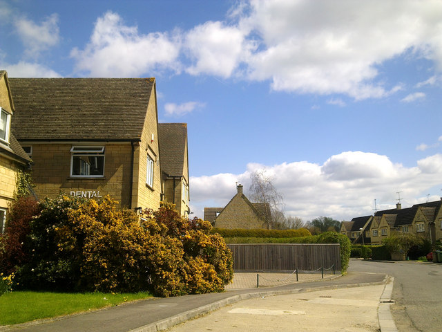
Image: © Brian Robert Marshall Taken: 20 Apr 2010
Taken while waiting to see my dentist. Just visible in the sky in the top centre is an aircraft condensation trail, the first I'd seen since last week when UK airspace was closed following the eruption of the Eyjafjallajökull volcano in Iceland a few days earlier.
Images are licensed for reuse under creativecommons.org/licenses/by-sa/2.0
Image Location
Latitude
51.669954
Longitude
-1.930978