Sweet Briar and Avery's
Introduction
The photograph on this page of Sweet Briar and Avery's by Ian Capper as part of the Geograph project.
The Geograph project started in 2005 with the aim of publishing, organising and preserving representative images for every square kilometre of Great Britain, Ireland and the Isle of Man.

There are currently over 7.5m images from over 14,400 individuals and you can help contribute to the project by visiting https://www.geograph.org.uk
Sweet Briar and Avery's
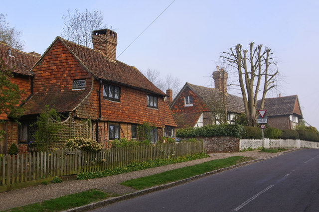
Image: © Ian Capper Taken: 17 Apr 2010
Two grade II listed buildings in Horsham Road. For individual photos see Image and Image
Images are licensed for reuse under creativecommons.org/licenses/by-sa/2.0
Image Location
Latitude
51.121627
Longitude
-0.278872