Barton Stacey - New Housing
Introduction
The photograph on this page of Barton Stacey - New Housing by Chris Talbot as part of the Geograph project.
The Geograph project started in 2005 with the aim of publishing, organising and preserving representative images for every square kilometre of Great Britain, Ireland and the Isle of Man.

There are currently over 7.5m images from over 14,400 individuals and you can help contribute to the project by visiting https://www.geograph.org.uk
Barton Stacey - New Housing
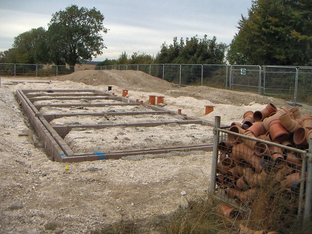
Image: © Chris Talbot Taken: 1 Jan 2010
The foundations of new houses being built in Barton Stacey.
Images are licensed for reuse under creativecommons.org/licenses/by-sa/2.0
Image Location


Leaflet Map data © OpenStreetMap
Latitude
51.167482
Longitude
-1.376366