Peak Forest Canal: Whaley Bridge Basin
Introduction
The photograph on this page of Peak Forest Canal: Whaley Bridge Basin by David Dixon as part of the Geograph project.
The Geograph project started in 2005 with the aim of publishing, organising and preserving representative images for every square kilometre of Great Britain, Ireland and the Isle of Man.

There are currently over 7.5m images from over 14,400 individuals and you can help contribute to the project by visiting https://www.geograph.org.uk
Peak Forest Canal: Whaley Bridge Basin
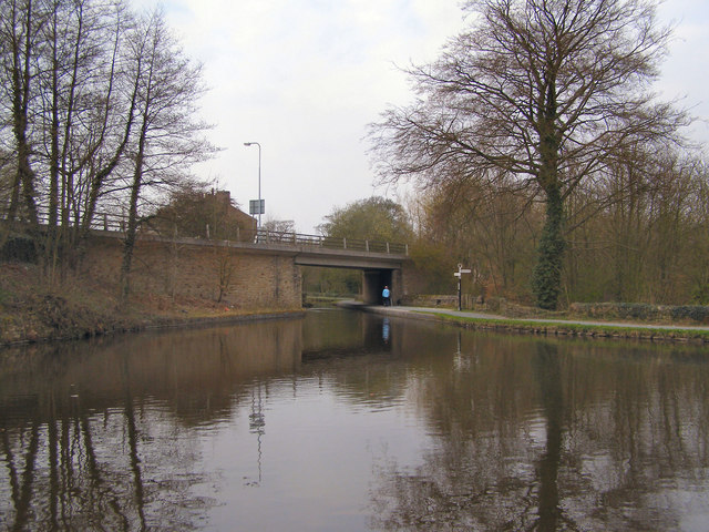
Image: © David Dixon Taken: 18 Apr 2010
Looking across the Whaley Bridge Basin towards the Buxton Road Bridge.
Images are licensed for reuse under creativecommons.org/licenses/by-sa/2.0
Image Location


Leaflet Map data © OpenStreetMap
Latitude
53.337756
Longitude
-1.981774