Wilmcote Locks - Lock No 47
Introduction
The photograph on this page of Wilmcote Locks - Lock No 47 by John M as part of the Geograph project.
The Geograph project started in 2005 with the aim of publishing, organising and preserving representative images for every square kilometre of Great Britain, Ireland and the Isle of Man.

There are currently over 7.5m images from over 14,400 individuals and you can help contribute to the project by visiting https://www.geograph.org.uk
Wilmcote Locks - Lock No 47
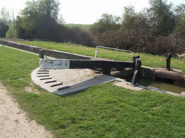
Image: © John M Taken: 18 Apr 2010
On the southern section of the Stratford Canal between Kingswood Junction and Stratford.
Images are licensed for reuse under creativecommons.org/licenses/by-sa/2.0
Image Location


Leaflet Map data © OpenStreetMap
Latitude
52.208697
Longitude
-1.745172