The lost village of Eastbridge
Introduction
The photograph on this page of The lost village of Eastbridge by John Baker as part of the Geograph project.
The Geograph project started in 2005 with the aim of publishing, organising and preserving representative images for every square kilometre of Great Britain, Ireland and the Isle of Man.

There are currently over 7.5m images from over 14,400 individuals and you can help contribute to the project by visiting https://www.geograph.org.uk
The lost village of Eastbridge
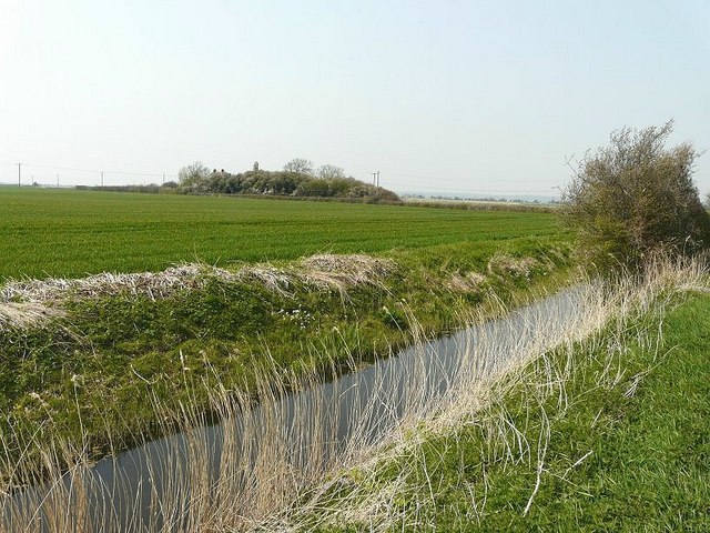
Image: © John Baker Taken: 18 Apr 2010
Looking across Marshland Sewer from Eastbridge Road to the fragment of its church tower, which is all that remains of the village. In the census of 1801 the population was given as twenty-four. In 1963, Miss Anne Roper see http://www.geograph.org.uk/photo/1793747 became the "Lord of the Manor of Eastbridge" (one of the twenty-three Manors of Romney Marsh).
Images are licensed for reuse under creativecommons.org/licenses/by-sa/2.0
Image Location
Latitude
51.050874
Longitude
0.957887