Culvert under A46, Stroud Park
Introduction
The photograph on this page of Culvert under A46, Stroud Park by Mike Baldwin as part of the Geograph project.
The Geograph project started in 2005 with the aim of publishing, organising and preserving representative images for every square kilometre of Great Britain, Ireland and the Isle of Man.

There are currently over 7.5m images from over 14,400 individuals and you can help contribute to the project by visiting https://www.geograph.org.uk
Culvert under A46, Stroud Park
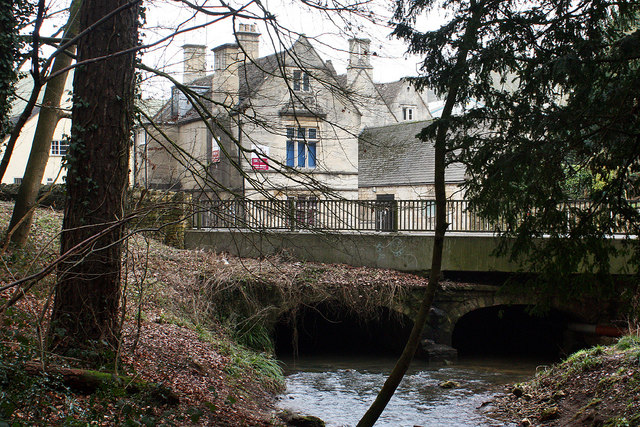
Image: © Mike Baldwin Taken: 6 Feb 2010
This culvert carries the Painswick Stream under the A46 Cheltenham to Bath road into Stratford Park. Behind are some Cotswold stone houses that are typical of this area.
Images are licensed for reuse under creativecommons.org/licenses/by-sa/2.0
Image Location
Latitude
51.752302
Longitude
-2.222172