River Severn from Plump Hill
Introduction
The photograph on this page of River Severn from Plump Hill by charlie rigby as part of the Geograph project.
The Geograph project started in 2005 with the aim of publishing, organising and preserving representative images for every square kilometre of Great Britain, Ireland and the Isle of Man.

There are currently over 7.5m images from over 14,400 individuals and you can help contribute to the project by visiting https://www.geograph.org.uk
River Severn from Plump Hill
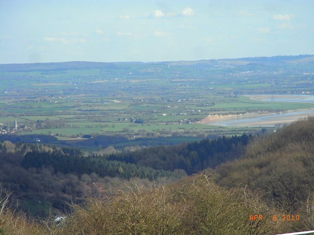
Image: © charlie rigby Taken: 8 Apr 2010
This view shows River Severn, Westbury Garden Cliff, Westbury village and Church spire in the mid left distance and Stonehouse on the right hand side beyond the river with the Cotswolds forming the background.
Images are licensed for reuse under creativecommons.org/licenses/by-sa/2.0
Image Location
Latitude
51.846085
Longitude
-2.487995