The Firs, Kilndown
Introduction
The photograph on this page of The Firs, Kilndown by David Anstiss as part of the Geograph project.
The Geograph project started in 2005 with the aim of publishing, organising and preserving representative images for every square kilometre of Great Britain, Ireland and the Isle of Man.

There are currently over 7.5m images from over 14,400 individuals and you can help contribute to the project by visiting https://www.geograph.org.uk
The Firs, Kilndown
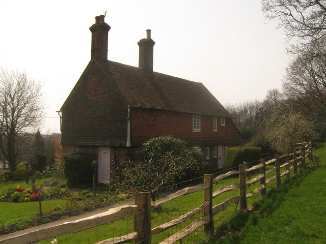
Image: © David Anstiss Taken: 18 Apr 2010
This cottage is on an access road to Mays Farm. Seen from a footpath from Chicks Lane towards Shearndown Wood.
Images are licensed for reuse under creativecommons.org/licenses/by-sa/2.0
Image Location


Leaflet Map data © OpenStreetMap
Latitude
51.087238
Longitude
0.425817