Copley Cricket Club and Copley Viaduct
Introduction
The photograph on this page of Copley Cricket Club and Copley Viaduct by charlieboyce as part of the Geograph project.
The Geograph project started in 2005 with the aim of publishing, organising and preserving representative images for every square kilometre of Great Britain, Ireland and the Isle of Man.

There are currently over 7.5m images from over 14,400 individuals and you can help contribute to the project by visiting https://www.geograph.org.uk
Copley Cricket Club and Copley Viaduct
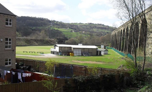
Image: © charlieboyce Taken: 20 Apr 2010
Copley Cricket Club bounded on the right by Copley Viaduct, at the back by the railway line between Sowerby Bridge and Brighouse and in the foreground by a housing estate built in 2006. The photo was taken from the towpath of the Leeds/Rochdale canal and Norland Town is on the hillside above the clubhouse.
Images are licensed for reuse under creativecommons.org/licenses/by-sa/2.0
Image Location
Latitude
53.700491
Longitude
-1.875608