Shelter, Frinton-on-Sea
Introduction
The photograph on this page of Shelter, Frinton-on-Sea by PAUL FARMER as part of the Geograph project.
The Geograph project started in 2005 with the aim of publishing, organising and preserving representative images for every square kilometre of Great Britain, Ireland and the Isle of Man.

There are currently over 7.5m images from over 14,400 individuals and you can help contribute to the project by visiting https://www.geograph.org.uk
Shelter, Frinton-on-Sea
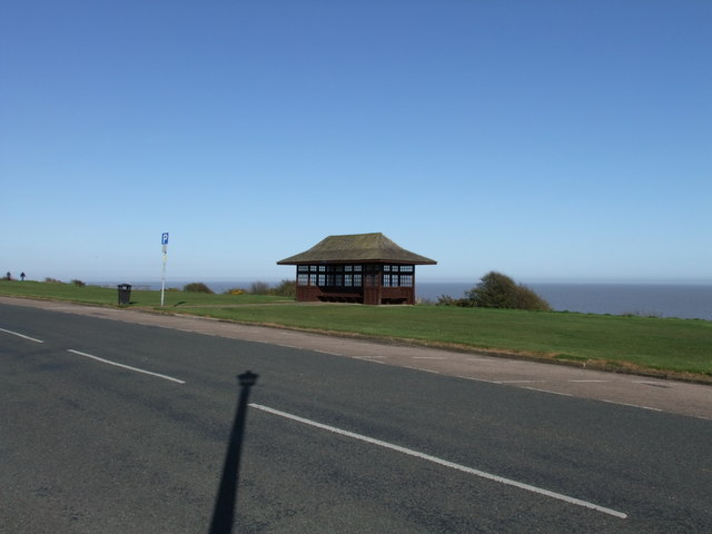
Image: © PAUL FARMER Taken: 17 Apr 2010
The shelter is situated opposite Oxford Road, it was restored in 2006 by Frinton and Walton Town Council with grant aid from Essex County Council
Images are licensed for reuse under creativecommons.org/licenses/by-sa/2.0
Image Location
Latitude
51.834366
Longitude
1.253748