White Hart Lane and Westfields Avenue
Introduction
The photograph on this page of White Hart Lane and Westfields Avenue by Derek Harper as part of the Geograph project.
The Geograph project started in 2005 with the aim of publishing, organising and preserving representative images for every square kilometre of Great Britain, Ireland and the Isle of Man.

There are currently over 7.5m images from over 14,400 individuals and you can help contribute to the project by visiting https://www.geograph.org.uk
White Hart Lane and Westfields Avenue
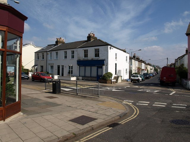
Image: © Derek Harper Taken: 15 Apr 2010
A road junction in Mortlake; White Hart Lane is the main road. Westfields Avenue, which runs parallel to Image, recalls one of the neighbourhood's names: Westfield was a rich market garden on this site. The pleasant, modest terraces now give rise to the name "Little Chelsea".
Images are licensed for reuse under creativecommons.org/licenses/by-sa/2.0
Image Location


Leaflet Map data © OpenStreetMap
Latitude
51.468258
Longitude
-0.254501