Stream Below Busbridge Lakes
Introduction
The photograph on this page of Stream Below Busbridge Lakes by Colin Smith as part of the Geograph project.
The Geograph project started in 2005 with the aim of publishing, organising and preserving representative images for every square kilometre of Great Britain, Ireland and the Isle of Man.

There are currently over 7.5m images from over 14,400 individuals and you can help contribute to the project by visiting https://www.geograph.org.uk
Stream Below Busbridge Lakes
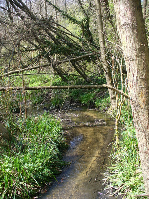
Image: © Colin Smith Taken: 18 Apr 2010
Narrow woodland stream emerging under the bridge on Tuesley Lane.
Images are licensed for reuse under creativecommons.org/licenses/by-sa/2.0
Image Location
Latitude
51.170327
Longitude
-0.617374