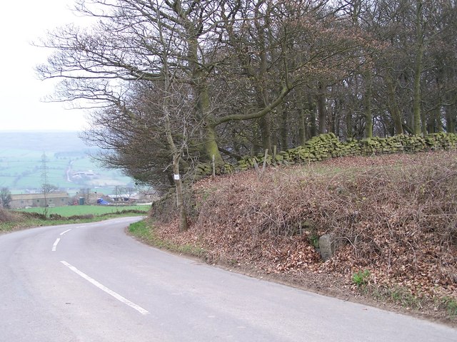
'Take Off' Stone, Mortimer Road, Sheephouse Heights, near Penistone
Introduction
The photograph on this page of 'Take Off' Stone, Mortimer Road, Sheephouse Heights, near Penistone by Terry Robinson as part of the Geograph project.
The Geograph project started in 2005 with the aim of publishing, organising and preserving representative images for every square kilometre of Great Britain, Ireland and the Isle of Man.
There are currently over 7.5m images from over 14,400 individuals and you can help contribute to the project by visiting https://www.geograph.org.uk

Image: © Terry Robinson Taken: 18 Apr 2010
The 'Take Off' stone is visible in the hedgerow on the right hand side of the road ... take care if you go to see it as you are not very visible to any traffic coming up the hill and round the bend. For a closer look, see ... Image This stone dates from the 1770's when Mortimer Road was first constructed as a Toll Road. The 'Take Off' relates to additional horses attached to heavily laden carts to help pull them up the steep hills. At this point the extra horses were unhitched and taken back down the hill to await the next load. A second 'Take Off' stone is also situated on Mortimer Road, some 20 miles south, near to the Strines Inn ... see Image Image

