LSWR former trackbed at Brentor
Introduction
The photograph on this page of LSWR former trackbed at Brentor by roger geach as part of the Geograph project.
The Geograph project started in 2005 with the aim of publishing, organising and preserving representative images for every square kilometre of Great Britain, Ireland and the Isle of Man.

There are currently over 7.5m images from over 14,400 individuals and you can help contribute to the project by visiting https://www.geograph.org.uk
LSWR former trackbed at Brentor
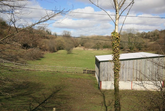
Image: © roger geach Taken: 4 Apr 2010
Looking towards Okehampton and Exeter a farm shed building has been built on part of the trackbed. The overbridge has been removed a long while ago and replaced with an embankment to carry the road. The line shut to passengers May 1968.
Images are licensed for reuse under creativecommons.org/licenses/by-sa/2.0
Image Location
Latitude
50.61147
Longitude
-4.13979