No way through
Introduction
The photograph on this page of No way through by Michael Dibb as part of the Geograph project.
The Geograph project started in 2005 with the aim of publishing, organising and preserving representative images for every square kilometre of Great Britain, Ireland and the Isle of Man.

There are currently over 7.5m images from over 14,400 individuals and you can help contribute to the project by visiting https://www.geograph.org.uk
No way through
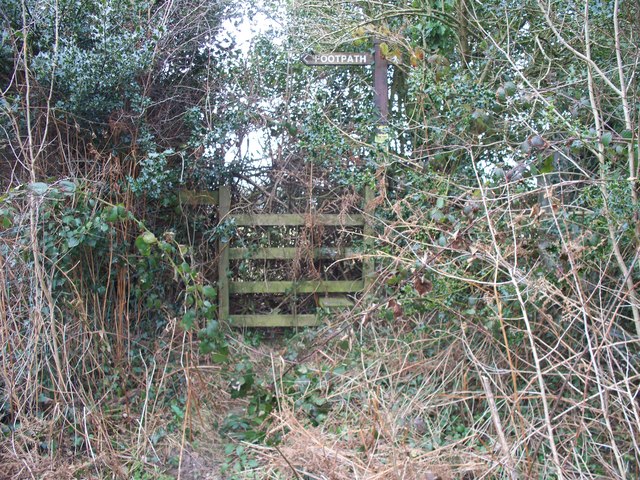
Image: © Michael Dibb Taken: 10 Mar 2010
Two paths meet the minor road here near Heol Fawr. This path, to Upper Mount Pleasant, seems to have been blocked for some considerable time.
Images are licensed for reuse under creativecommons.org/licenses/by-sa/2.0
Image Location
Latitude
51.605181
Longitude
-3.063718