New Charlton Industrial Estate
Introduction
The photograph on this page of New Charlton Industrial Estate by Stephen Craven as part of the Geograph project.
The Geograph project started in 2005 with the aim of publishing, organising and preserving representative images for every square kilometre of Great Britain, Ireland and the Isle of Man.

There are currently over 7.5m images from over 14,400 individuals and you can help contribute to the project by visiting https://www.geograph.org.uk
New Charlton Industrial Estate
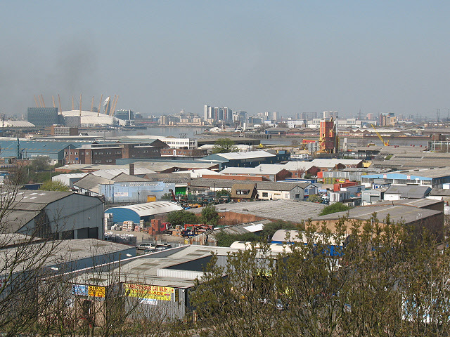
Image: © Stephen Craven Taken: 18 Apr 2010
These are the light industrial units off Westmoor Street and Penhall Road, between the A206 (Woolwich Road) and the River Thames. The view is from the vantage point above Gilbert's Pit Image
Images are licensed for reuse under creativecommons.org/licenses/by-sa/2.0
Image Location
Latitude
51.491891
Longitude
0.036525