Broadstreet Common
Introduction
The photograph on this page of Broadstreet Common by Alan Hunt as part of the Geograph project.
The Geograph project started in 2005 with the aim of publishing, organising and preserving representative images for every square kilometre of Great Britain, Ireland and the Isle of Man.

There are currently over 7.5m images from over 14,400 individuals and you can help contribute to the project by visiting https://www.geograph.org.uk
Broadstreet Common
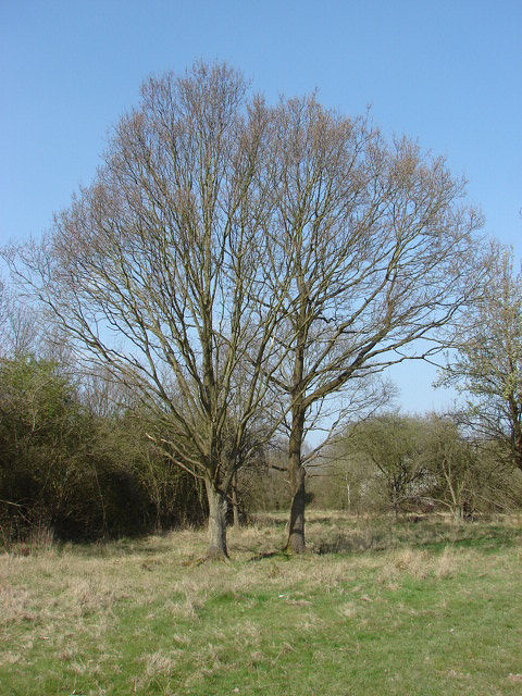
Image: © Alan Hunt Taken: 18 Apr 2010
Oak trees and scrub on the common. These commons are on a narrow band of London clay which is anything but free draining, so the grassland is typically rank and matted. This has also protected them from development as they tend to get waterlogged in winter.
Images are licensed for reuse under creativecommons.org/licenses/by-sa/2.0
Image Location
Latitude
51.2491
Longitude
-0.617306