Closed shops
Introduction
The photograph on this page of Closed shops by David Lally as part of the Geograph project.
The Geograph project started in 2005 with the aim of publishing, organising and preserving representative images for every square kilometre of Great Britain, Ireland and the Isle of Man.

There are currently over 7.5m images from over 14,400 individuals and you can help contribute to the project by visiting https://www.geograph.org.uk
Closed shops
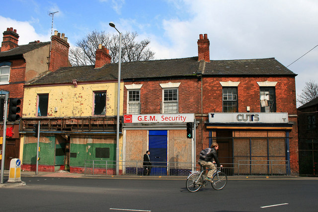
Image: © David Lally Taken: 14 Apr 2010
The "top-end" of Alfreton Road where it meets Canning Circus has never been the most salubrious of areas but currently it is worse than it has ever been.
Images are licensed for reuse under creativecommons.org/licenses/by-sa/2.0
Image Location
Latitude
52.956284
Longitude
-1.162352