Fence on the route of the Antonine Wall
Introduction
The photograph on this page of Fence on the route of the Antonine Wall by Stephen Sweeney as part of the Geograph project.
The Geograph project started in 2005 with the aim of publishing, organising and preserving representative images for every square kilometre of Great Britain, Ireland and the Isle of Man.

There are currently over 7.5m images from over 14,400 individuals and you can help contribute to the project by visiting https://www.geograph.org.uk
Fence on the route of the Antonine Wall
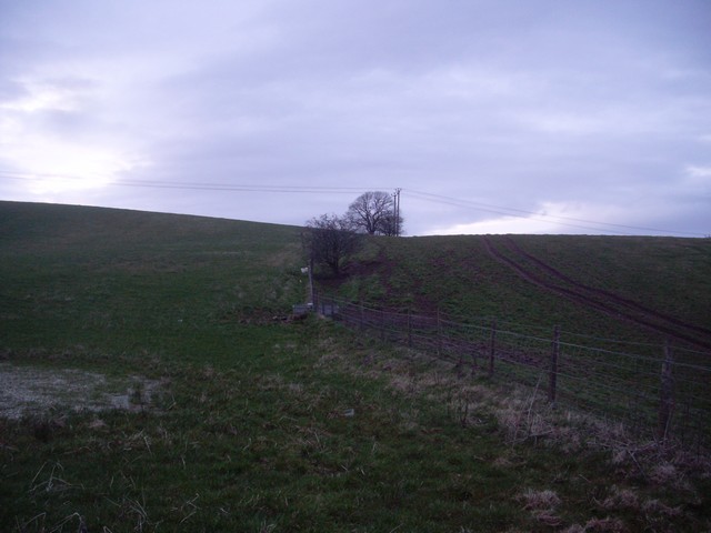
Image: © Stephen Sweeney Taken: 8 Apr 2010
Between Milngavie and Bishopbriggs. The ditch that the fence follows through may well be the same ditch that the wall followed when built almost two millennia ago.
Images are licensed for reuse under creativecommons.org/licenses/by-sa/2.0
Image Location
Latitude
55.922707
Longitude
-4.276413