The River Derwent by How Farm
Introduction
The photograph on this page of The River Derwent by How Farm by Walter Baxter as part of the Geograph project.
The Geograph project started in 2005 with the aim of publishing, organising and preserving representative images for every square kilometre of Great Britain, Ireland and the Isle of Man.

There are currently over 7.5m images from over 14,400 individuals and you can help contribute to the project by visiting https://www.geograph.org.uk
The River Derwent by How Farm
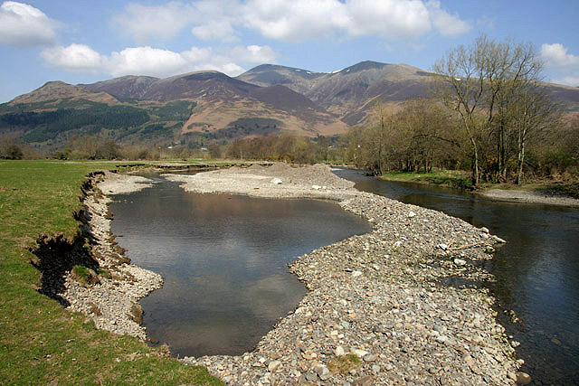
Image: © Walter Baxter Taken: 16 Apr 2010
A view from the west bank towards Skiddaw. The river cobble deposits are the result of major flooding a few months back, and the public footpath from How Farm to Bog House is still closed due to flood damage.
Images are licensed for reuse under creativecommons.org/licenses/by-sa/2.0
Image Location
Latitude
54.609148
Longitude
-3.165021