Cokin's Field
Introduction
The photograph on this page of Cokin's Field by Simon Carey as part of the Geograph project.
The Geograph project started in 2005 with the aim of publishing, organising and preserving representative images for every square kilometre of Great Britain, Ireland and the Isle of Man.

There are currently over 7.5m images from over 14,400 individuals and you can help contribute to the project by visiting https://www.geograph.org.uk
Cokin's Field
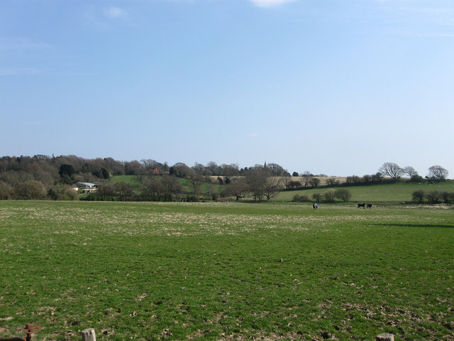
Image: © Simon Carey Taken: 15 Apr 2010
The name of the field according to the 1839 tithe map. The spire of Herstmonceux church can just be seen on the far side of this small valley.
Images are licensed for reuse under creativecommons.org/licenses/by-sa/2.0
Image Location


Leaflet Map data © OpenStreetMap
Latitude
50.871498
Longitude
0.327465