Iron Stream
Introduction
The photograph on this page of Iron Stream by Simon Carey as part of the Geograph project.
The Geograph project started in 2005 with the aim of publishing, organising and preserving representative images for every square kilometre of Great Britain, Ireland and the Isle of Man.

There are currently over 7.5m images from over 14,400 individuals and you can help contribute to the project by visiting https://www.geograph.org.uk
Iron Stream
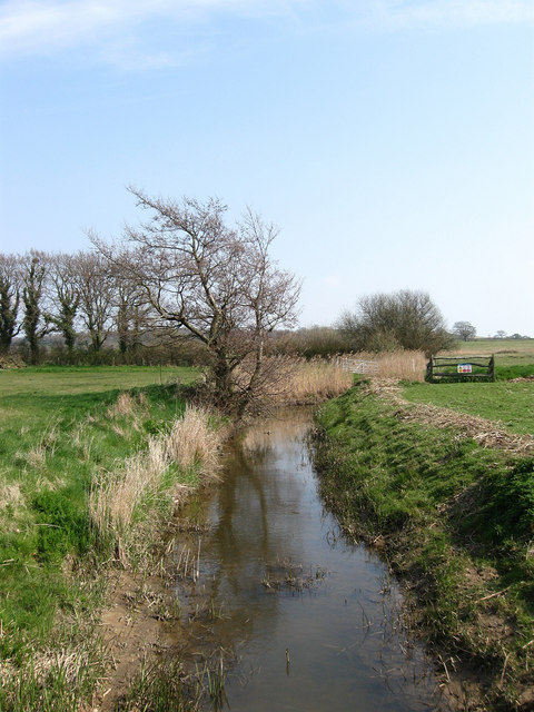
Image: © Simon Carey Taken: 15 Apr 2010
Rises to the west of Herstmonceux before entering the Pevensey Levels at this point where it drains the land up to its confluence with Hurst Haven.
Images are licensed for reuse under creativecommons.org/licenses/by-sa/2.0
Image Location
Latitude
50.87392
Longitude
0.318772