Daddlebrook Road near its junction with Church Road
Introduction
The photograph on this page of Daddlebrook Road near its junction with Church Road by P L Chadwick as part of the Geograph project.
The Geograph project started in 2005 with the aim of publishing, organising and preserving representative images for every square kilometre of Great Britain, Ireland and the Isle of Man.

There are currently over 7.5m images from over 14,400 individuals and you can help contribute to the project by visiting https://www.geograph.org.uk
Daddlebrook Road near its junction with Church Road
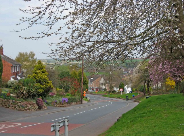
Image: © P L Chadwick Taken: 18 Apr 2010
The quaintly named Daddlebrook Road is a long road traversing the newer part of the village of Alveley, which for a few decades in the 20th century was a mining village. This part of the road is near its junction with the main road in the older part of the village. The orange signs, which can be glimpsed in the distance, are posters for the local Liberal Democrat candidate in the 2010 General Election.
Images are licensed for reuse under creativecommons.org/licenses/by-sa/2.0
Image Location
Latitude
52.457292
Longitude
-2.3533