Butlers Lane
Introduction
The photograph on this page of Butlers Lane by Simon Carey as part of the Geograph project.
The Geograph project started in 2005 with the aim of publishing, organising and preserving representative images for every square kilometre of Great Britain, Ireland and the Isle of Man.

There are currently over 7.5m images from over 14,400 individuals and you can help contribute to the project by visiting https://www.geograph.org.uk
Butlers Lane
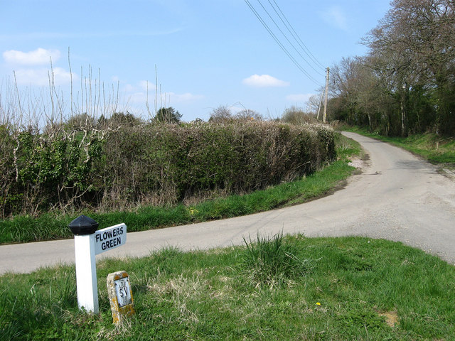
Image: © Simon Carey Taken: 15 Apr 2010
Single track lane that links Lower Road at Golden Cross to Flowers Green. The top end of the triangle at the junction is just in this square whilst the water main marker gives an idea of the size of the signpost.
Images are licensed for reuse under creativecommons.org/licenses/by-sa/2.0
Image Location
Latitude
50.875728
Longitude
0.318293