Southampton Docks, dredging
Introduction
The photograph on this page of Southampton Docks, dredging by Mike Faherty as part of the Geograph project.
The Geograph project started in 2005 with the aim of publishing, organising and preserving representative images for every square kilometre of Great Britain, Ireland and the Isle of Man.

There are currently over 7.5m images from over 14,400 individuals and you can help contribute to the project by visiting https://www.geograph.org.uk
Southampton Docks, dredging
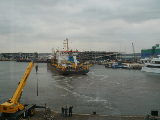
Image: © Mike Faherty Taken: 14 Apr 2010
UKD "Bluefin" sweeping up and down Empress Dock; to the right, a luxury yacht, a more modest harbour master's boat, and in the background, cars awaiting shipment. As seen from Image http://ukdredging.com/our_fleet/ukd_bluefin.htm
Images are licensed for reuse under creativecommons.org/licenses/by-sa/2.0
Image Location
Latitude
50.89152
Longitude
-1.395697