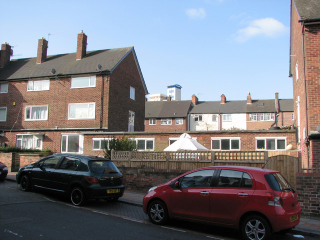
Peveril Street
Introduction
The photograph on this page of Peveril Street by John Sutton as part of the Geograph project.
The Geograph project started in 2005 with the aim of publishing, organising and preserving representative images for every square kilometre of Great Britain, Ireland and the Isle of Man.
There are currently over 7.5m images from over 14,400 individuals and you can help contribute to the project by visiting https://www.geograph.org.uk

Image: © John Sutton Taken: 16 Apr 2010
Of most historical interest is the early 19th-century house with framework-knitter's windows on its third storey (above the red car). These large windows were essential to give the hand-loom weavers enough light. The Alfreton Road frontage of the house is shown in Alan Murray-Rust's photograph of the Alma Inn http://www.geograph.org.uk/photo/1044403. This photograph is also notable in showing the then home, on the left, of the alluring fellow student who shared the Forest Fields Grammar School 0-level English prize with me in 1964.

