Barn Meadow
Introduction
The photograph on this page of Barn Meadow by Simon Carey as part of the Geograph project.
The Geograph project started in 2005 with the aim of publishing, organising and preserving representative images for every square kilometre of Great Britain, Ireland and the Isle of Man.

There are currently over 7.5m images from over 14,400 individuals and you can help contribute to the project by visiting https://www.geograph.org.uk
Barn Meadow
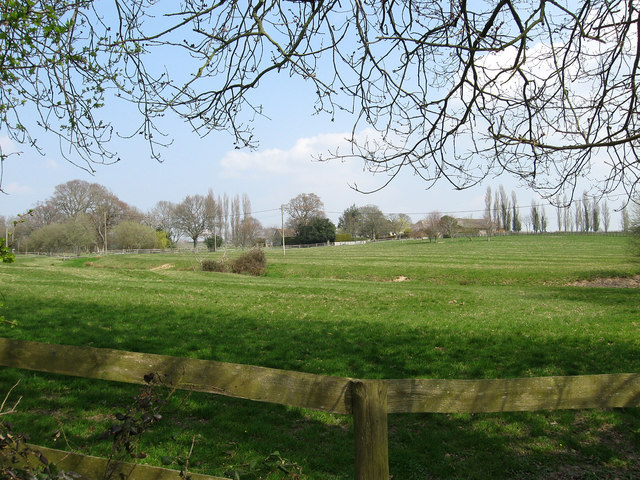
Image: © Simon Carey Taken: 15 Apr 2010
The name of the field according to the 1839 tithe map. I think this former agricultural field is now part of the grounds of Gildridge House to the left.
Images are licensed for reuse under creativecommons.org/licenses/by-sa/2.0
Image Location
Latitude
50.874789
Longitude
0.288395