Shute House
Introduction
The photograph on this page of Shute House by John Lindsay as part of the Geograph project.
The Geograph project started in 2005 with the aim of publishing, organising and preserving representative images for every square kilometre of Great Britain, Ireland and the Isle of Man.

There are currently over 7.5m images from over 14,400 individuals and you can help contribute to the project by visiting https://www.geograph.org.uk
Shute House
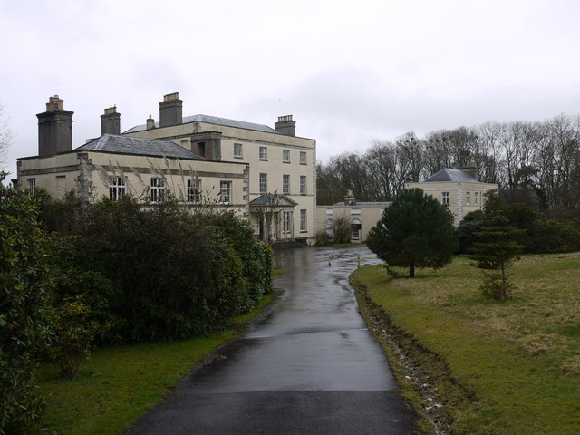
Image: © John Lindsay Taken: 30 Mar 2010
Built to replace the much older house near Shute village. It is now converted into flats and is set in lovely grounds with views to the sea.
Images are licensed for reuse under creativecommons.org/licenses/by-sa/2.0
Image Location
Latitude
50.767797
Longitude
-3.056378