New Kings Road
Introduction
The photograph on this page of New Kings Road by Derek Harper as part of the Geograph project.
The Geograph project started in 2005 with the aim of publishing, organising and preserving representative images for every square kilometre of Great Britain, Ireland and the Isle of Man.

There are currently over 7.5m images from over 14,400 individuals and you can help contribute to the project by visiting https://www.geograph.org.uk
New Kings Road
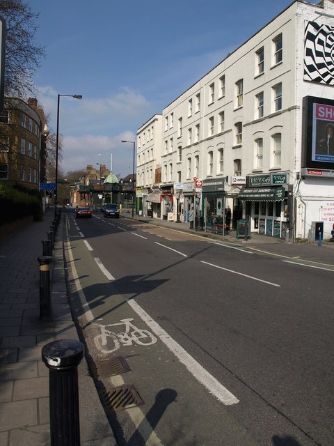
Image: © Derek Harper Taken: 15 Apr 2010
The A308 approaches the junction with Fulham High Street just north of Putney Bridge. The small green dome belongs to the former temperance billiard hall built in 1909 in Art Nouveau style.
Images are licensed for reuse under creativecommons.org/licenses/by-sa/2.0
Image Location


Leaflet Map data © OpenStreetMap
Latitude
51.469293
Longitude
-0.209828