Largs Station
Introduction
The photograph on this page of Largs Station by Gordon Dowie as part of the Geograph project.
The Geograph project started in 2005 with the aim of publishing, organising and preserving representative images for every square kilometre of Great Britain, Ireland and the Isle of Man.

There are currently over 7.5m images from over 14,400 individuals and you can help contribute to the project by visiting https://www.geograph.org.uk
Largs Station
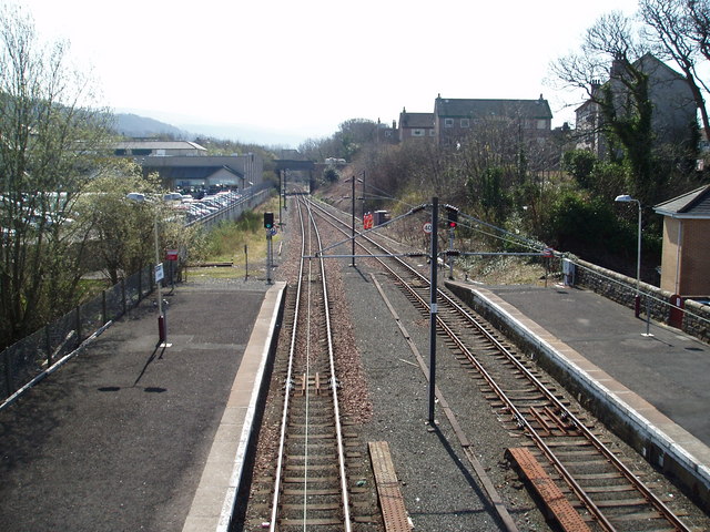
Image: © Gordon Dowie Taken: 16 Apr 2010
View from the footbridge over the lines and looking back in the direction of Ardrossan, Saltcoats and ultimately Glasgow. The track is single as far as the coal loading depot at Hunterston.
Images are licensed for reuse under creativecommons.org/licenses/by-sa/2.0
Image Location
Latitude
55.79111
Longitude
-4.865865