Waterhead Brook upstream at the Cannock Road
Introduction
The photograph on this page of Waterhead Brook upstream at the Cannock Road by John M as part of the Geograph project.
The Geograph project started in 2005 with the aim of publishing, organising and preserving representative images for every square kilometre of Great Britain, Ireland and the Isle of Man.

There are currently over 7.5m images from over 14,400 individuals and you can help contribute to the project by visiting https://www.geograph.org.uk
Waterhead Brook upstream at the Cannock Road
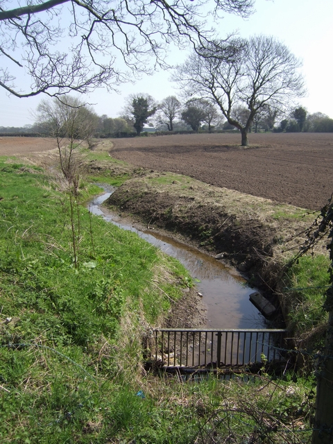
Image: © John M Taken: 17 Apr 2010
Cleared channel across farmland. This field is normally used for pasture.
Images are licensed for reuse under creativecommons.org/licenses/by-sa/2.0
Image Location
Latitude
52.619692
Longitude
-2.091684