Canklow Wood
Introduction
The photograph on this page of Canklow Wood by Nikki Mahadevan as part of the Geograph project.
The Geograph project started in 2005 with the aim of publishing, organising and preserving representative images for every square kilometre of Great Britain, Ireland and the Isle of Man.

There are currently over 7.5m images from over 14,400 individuals and you can help contribute to the project by visiting https://www.geograph.org.uk
Canklow Wood
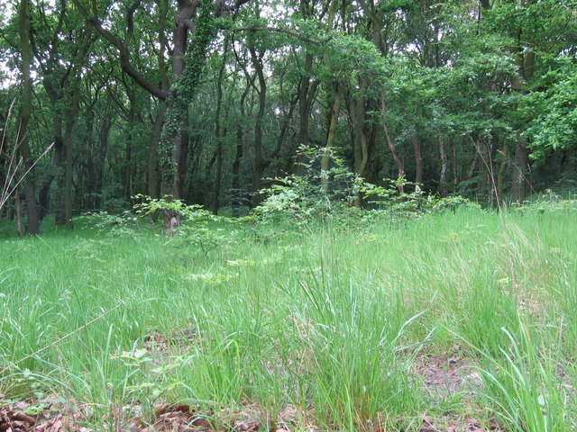
Image: © Nikki Mahadevan Taken: 4 Jun 2006
Taken at the southern edge of this ancient woodland. At the summit (to the north and east) of the site, there are the remains of a Bronze Age settlement
Images are licensed for reuse under creativecommons.org/licenses/by-sa/2.0
Image Location


Leaflet Map data © OpenStreetMap
Latitude
53.405034
Longitude
-1.347155