Commercial Buildings on Trevellas Downs
Introduction
The photograph on this page of Commercial Buildings on Trevellas Downs by Tony Atkin as part of the Geograph project.
The Geograph project started in 2005 with the aim of publishing, organising and preserving representative images for every square kilometre of Great Britain, Ireland and the Isle of Man.

There are currently over 7.5m images from over 14,400 individuals and you can help contribute to the project by visiting https://www.geograph.org.uk
Commercial Buildings on Trevellas Downs
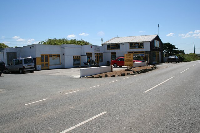
Image: © Tony Atkin Taken: 2 Jun 2006
This looks like it was originally a garage but is now a caravan and camping centre. It is next to a small row of cottages Image
Images are licensed for reuse under creativecommons.org/licenses/by-sa/2.0
Image Location


Leaflet Map data © OpenStreetMap
Latitude
50.320902
Longitude
-5.176209