Path through wasteland, Old St Mellons
Introduction
The photograph on this page of Path through wasteland, Old St Mellons by Jaggery as part of the Geograph project.
The Geograph project started in 2005 with the aim of publishing, organising and preserving representative images for every square kilometre of Great Britain, Ireland and the Isle of Man.

There are currently over 7.5m images from over 14,400 individuals and you can help contribute to the project by visiting https://www.geograph.org.uk
Path through wasteland, Old St Mellons
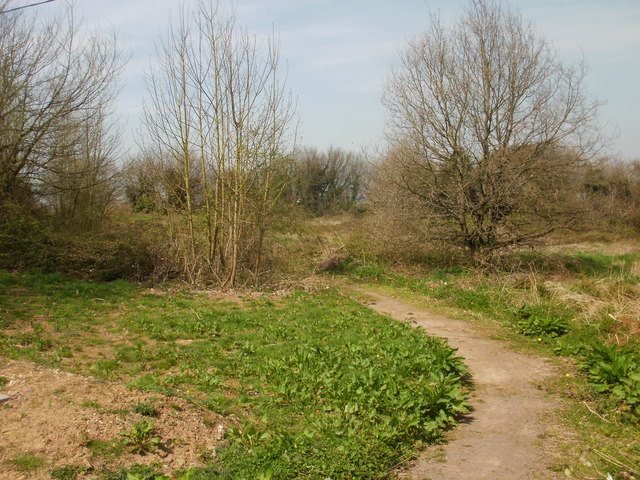
Image: © Jaggery Taken: 15 Apr 2010
A path heads away from the northern side of the parish church http://www.geograph.org.uk/photo/1809100 through a narrow strip of wasteland between the church and Elgar Crescent allotments.
Images are licensed for reuse under creativecommons.org/licenses/by-sa/2.0
Image Location
Latitude
51.526215
Longitude
-3.114202