Farmland, track and cottages, Mortimer West End
Introduction
The photograph on this page of Farmland, track and cottages, Mortimer West End by Andrew Smith as part of the Geograph project.
The Geograph project started in 2005 with the aim of publishing, organising and preserving representative images for every square kilometre of Great Britain, Ireland and the Isle of Man.

There are currently over 7.5m images from over 14,400 individuals and you can help contribute to the project by visiting https://www.geograph.org.uk
Farmland, track and cottages, Mortimer West End
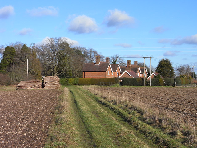
Image: © Andrew Smith Taken: 30 Jan 2010
These cottages remain in Hampshire. However, the boundary was relatively recently redrawn to move neighbouring properties on the northern side of West End Road into West Berkshire. The road now forms the boundary. The track is the footpath from West End Farm.
Images are licensed for reuse under creativecommons.org/licenses/by-sa/2.0
Image Location
Latitude
51.374215
Longitude
-1.077747