Standhouse Centre
Introduction
The photograph on this page of Standhouse Centre by Keith Pitchforth as part of the Geograph project.
The Geograph project started in 2005 with the aim of publishing, organising and preserving representative images for every square kilometre of Great Britain, Ireland and the Isle of Man.

There are currently over 7.5m images from over 14,400 individuals and you can help contribute to the project by visiting https://www.geograph.org.uk
Standhouse Centre
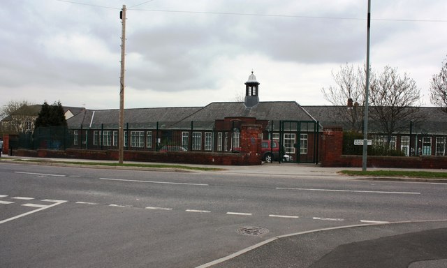
Image: © Keith Pitchforth Taken: 15 Apr 2010
This former primary school was built in 1934 to serve the newly developed council housing estate.
Images are licensed for reuse under creativecommons.org/licenses/by-sa/2.0
Image Location
Latitude
53.367772
Longitude
-1.425122