Spoutwell Lane
Introduction
The photograph on this page of Spoutwell Lane by Mike Quinn as part of the Geograph project.
The Geograph project started in 2005 with the aim of publishing, organising and preserving representative images for every square kilometre of Great Britain, Ireland and the Isle of Man.

There are currently over 7.5m images from over 14,400 individuals and you can help contribute to the project by visiting https://www.geograph.org.uk
Spoutwell Lane
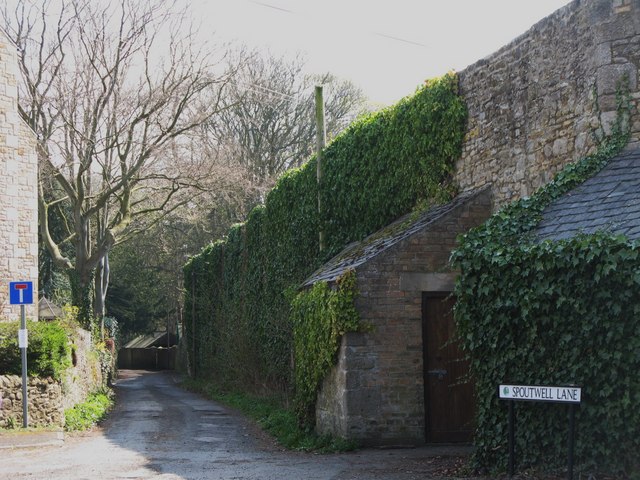
Image: © Mike Quinn Taken: 16 Apr 2010
Spoutwell Lane led to the ford that was the main crossing over the River Tyne before the first mediaeval bridge was built. Years later it was still used by cattle drovers and others wanting to avoid the bridge tolls. {Source: "Corbridge" leaflet published by the Corbridge Village Trust.}
Images are licensed for reuse under creativecommons.org/licenses/by-sa/2.0
Image Location
Latitude
54.973161
Longitude
-2.014045