Ruff Lane, Ormskirk
Introduction
The photograph on this page of Ruff Lane, Ormskirk by Chris Denny as part of the Geograph project.
The Geograph project started in 2005 with the aim of publishing, organising and preserving representative images for every square kilometre of Great Britain, Ireland and the Isle of Man.

There are currently over 7.5m images from over 14,400 individuals and you can help contribute to the project by visiting https://www.geograph.org.uk
Ruff Lane, Ormskirk
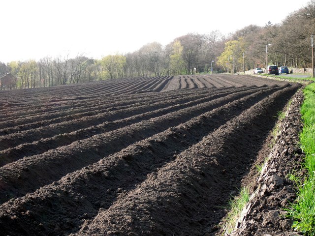
Image: © Chris Denny Taken: 16 Apr 2010
Looking north west towards Ormskirk. Hidden behind the line of trees at the end of the field is the ever expanding Edge Hill University.
Images are licensed for reuse under creativecommons.org/licenses/by-sa/2.0
Image Location
Latitude
53.559803
Longitude
-2.866805