Barnet: Footpath to High Barnet station
Introduction
The photograph on this page of Barnet: Footpath to High Barnet station by Dr Neil Clifton as part of the Geograph project.
The Geograph project started in 2005 with the aim of publishing, organising and preserving representative images for every square kilometre of Great Britain, Ireland and the Isle of Man.

There are currently over 7.5m images from over 14,400 individuals and you can help contribute to the project by visiting https://www.geograph.org.uk
Barnet: Footpath to High Barnet station
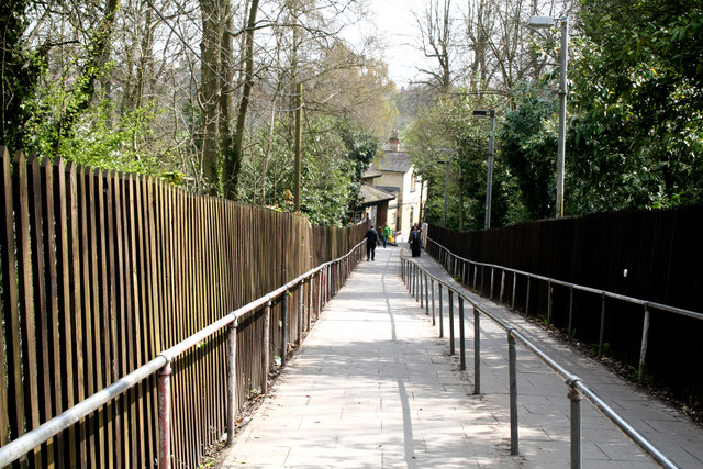
Image: © Dr Neil Clifton Taken: 15 Apr 2010
High Barnet station was opened in 1872 by the Great Northern railway and until 1939 was served by steam trains, most of them to and from either Kings Cross or Broad Street, (via the Canonbury Curve). In 1939 the station closed, to reopen the following year as part of the London Underground's Northern Line, with trains to Kennington and Morden, passing under Central London via two routes - via Bank and via Charing Cross. The Northern Line remains in 2010 as the most complex of London's 'Tube' lines, and is very heavily used.
Images are licensed for reuse under creativecommons.org/licenses/by-sa/2.0
Image Location
Latitude
51.650898
Longitude
-0.195454