Thorpeville
Introduction
The photograph on this page of Thorpeville by Burgess Von Thunen as part of the Geograph project.
The Geograph project started in 2005 with the aim of publishing, organising and preserving representative images for every square kilometre of Great Britain, Ireland and the Isle of Man.

There are currently over 7.5m images from over 14,400 individuals and you can help contribute to the project by visiting https://www.geograph.org.uk
Thorpeville
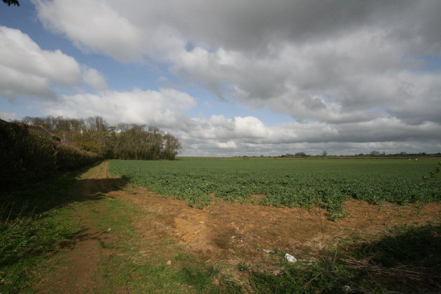
Image: © Burgess Von Thunen Taken: 16 Apr 2010
Overlooking farmland on the edge of Northampton towards Moulton. The spinney on the left is a round spinney called Round Spinney, after which the nearby industrial estate, Round Spinney is named.
Images are licensed for reuse under creativecommons.org/licenses/by-sa/2.0
Image Location
Latitude
52.281101
Longitude
-0.845904