Oxted Mill
Introduction
The photograph on this page of Oxted Mill by patrick connolly as part of the Geograph project.
The Geograph project started in 2005 with the aim of publishing, organising and preserving representative images for every square kilometre of Great Britain, Ireland and the Isle of Man.

There are currently over 7.5m images from over 14,400 individuals and you can help contribute to the project by visiting https://www.geograph.org.uk
Oxted Mill
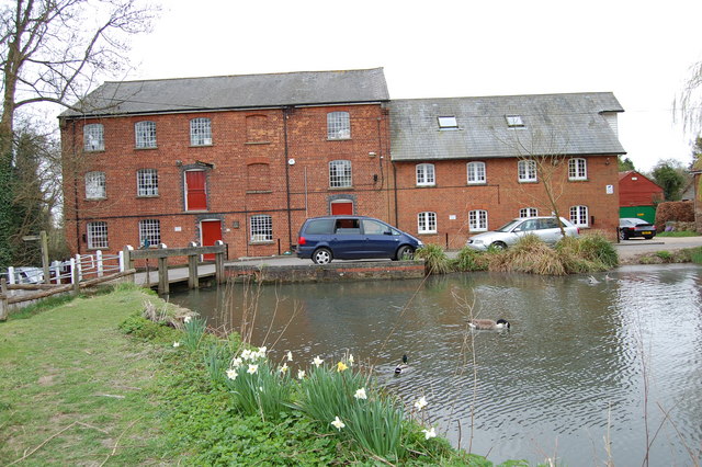
Image: © patrick connolly Taken: 14 Apr 2010
Mill pond and mill building now used as business units.
Images are licensed for reuse under creativecommons.org/licenses/by-sa/2.0
Image Location
Latitude
51.249072
Longitude
-0.009902