Bridleway and motorway
Introduction
The photograph on this page of Bridleway and motorway by Michael Dibb as part of the Geograph project.
The Geograph project started in 2005 with the aim of publishing, organising and preserving representative images for every square kilometre of Great Britain, Ireland and the Isle of Man.

There are currently over 7.5m images from over 14,400 individuals and you can help contribute to the project by visiting https://www.geograph.org.uk
Bridleway and motorway
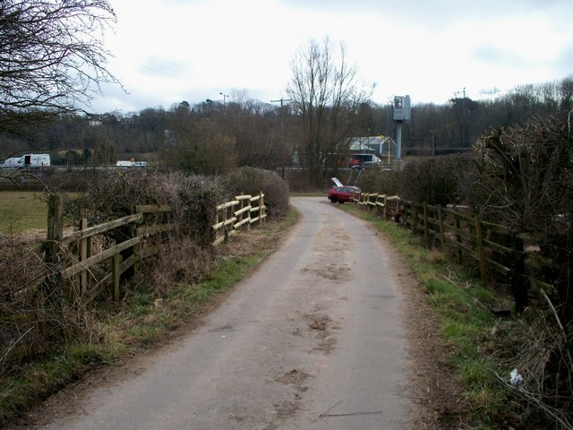
Image: © Michael Dibb Taken: 10 Mar 2010
A view of the driveway to Wern-ddu Farm, which is also a bridleway. The driveway makes a right turn to pass under the M4 motorway. A motorway information gantry is visible and, to its left, the buildings of Grove Farm.
Images are licensed for reuse under creativecommons.org/licenses/by-sa/2.0
Image Location
Latitude
51.595864
Longitude
-3.019323