Ploughed Field near Wrantage
Introduction
The photograph on this page of Ploughed Field near Wrantage by Nigel Mykura as part of the Geograph project.
The Geograph project started in 2005 with the aim of publishing, organising and preserving representative images for every square kilometre of Great Britain, Ireland and the Isle of Man.

There are currently over 7.5m images from over 14,400 individuals and you can help contribute to the project by visiting https://www.geograph.org.uk
Ploughed Field near Wrantage
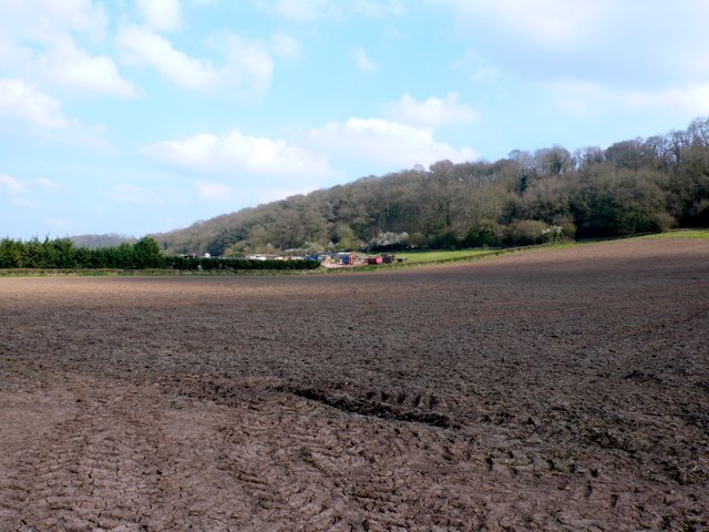
Image: © Nigel Mykura Taken: 15 Apr 2010
This field is on the south side of the A378 at the western end of West Sedge Moor. In the background is Underhill Farm.
Images are licensed for reuse under creativecommons.org/licenses/by-sa/2.0
Image Location
Latitude
51.000887
Longitude
-2.973732