Sheep grazing near Rosgill
Introduction
The photograph on this page of Sheep grazing near Rosgill by Karl and Ali as part of the Geograph project.
The Geograph project started in 2005 with the aim of publishing, organising and preserving representative images for every square kilometre of Great Britain, Ireland and the Isle of Man.

There are currently over 7.5m images from over 14,400 individuals and you can help contribute to the project by visiting https://www.geograph.org.uk
Sheep grazing near Rosgill
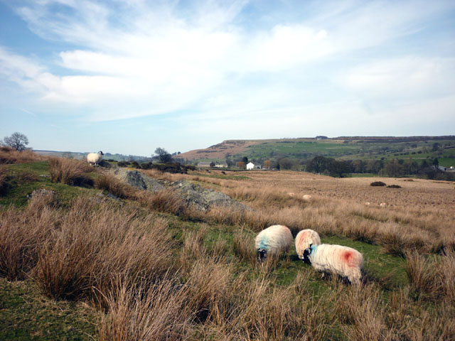
Image: © Karl and Ali Taken: 10 Apr 2010
The limestone scarp of Knipe Scar rises above the settlement of Toathmain.
Images are licensed for reuse under creativecommons.org/licenses/by-sa/2.0
Image Location
Latitude
54.542024
Longitude
-2.726901