Heol Don - Whitchurch
Introduction
The photograph on this page of Heol Don - Whitchurch by Mick Lobb as part of the Geograph project.
The Geograph project started in 2005 with the aim of publishing, organising and preserving representative images for every square kilometre of Great Britain, Ireland and the Isle of Man.

There are currently over 7.5m images from over 14,400 individuals and you can help contribute to the project by visiting https://www.geograph.org.uk
Heol Don - Whitchurch
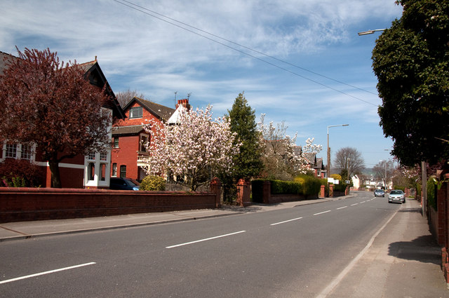
Image: © Mick Lobb Taken: 15 Apr 2010
At this point Heol Don is a section of the A4054. Just after the approaching bend it branches to the left and is joined from the right by Kelston Road which then becomes the A4054 for a short distance of 363 m.
Images are licensed for reuse under creativecommons.org/licenses/by-sa/2.0
Image Location
Latitude
51.512397
Longitude
-3.228286